Back to Cattle Country
Day 28
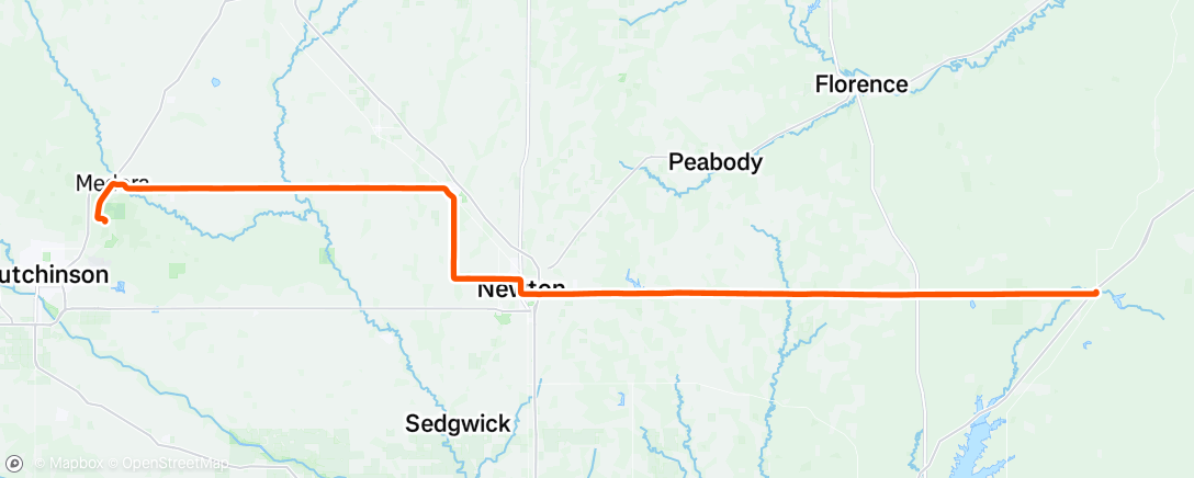
Started out from the Sand Hills State Park. The first notable thing was that I was held up at a train crossing for quite a while. Headed east on county roads, excellent road surface. The land is gently rolling and mostly planted with soybeans, some corn. Still lots of fairly big deciduous trees along ridges, creeks, property lines and around farmhouses. This was true through the towns of Hesston and a little further south and east, Newton. Newton seemed a pretty good size. Out of Newton, it was due east. Slight headwind, but some slightly sharper hills. We are in the Flint Hills part of Kansas. There was a heat alert for today with the heat index supposed to get up to 105. I recorded slightly higher than that on the road. The further east I went, the land continued to change and gradually reverted to the wide open range land with some crops, but mostly beef production.
Here's a shot of the road heading off to the east.


Comments
Post a Comment