Day 49
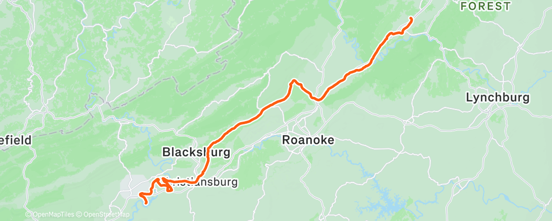
Started out in Claytor Lake State Park. Did the climb out of the park back up to the route. The route takes one to Rayford, then Christiansburg. Coming out of Rayford, I made a wrong turn and after some time ended up back in Rayford. Rayford is home of the University of Rayford. The roads that I came into Rayford on were marked for cycling events, including a race WRR. After getting sorted out I ended up in Christiansburg. This lead to a fairly long time on small country roads with a fair amount of climbing.
The weather was partly cloudy, and the temp started out in the high 60's. Did a lot of hill climbing, some steep, but not as long as those in Missouri and eastern Kentucky. Cut the trip through the country side short, had lunch on the outside tables of a road stop. The lunch started out sunny, the wind picked up and it got completely cloudy. As I headed north from Troutville, the sky opened up. A pretty rainy ride. The rain had subsided by the time I got to Buchanan. The sign at the entrance to town calls Buchanan the gateway to the Shenandoah Valley.
We continue to pass between the mountain ranges. We are staying at a KOA campground at Natural Bridge.
Tomorrow we go north to the break in the Blue Ridge mountains.


Comments
Post a Comment