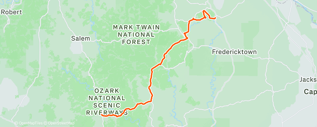
St. Francois Mtns
Day 34
We started out in Eminence at the Circle B RV campground which is at river level. I had to climb out to the hiway on a gravel road. Very loose surface and tricky to avoid sliding it was so steep. Once I hit the highway there was a significant amount of climbing to get up out of the river valley, then the road proceeded up and down until we left the Ozark Scenic Rivers region. East at first, then north. The easternmost portion of the Ozarks is referred to as the St. Francois Range. All of the climbs today were steep, but not as long as the Scenic Rivers climbs. The route went north to a town called Bismarc. I missed a turn before the town, so entered from a different direction. Wandered around for a while and finally got out of town only to meet a few more very steep climbs. Got turned around and lost on the way to Farmington, our stop for the night. Finally made it in, and ended up with just over 100 miles for the day. Tomorrow we cross the Mississippi river and enter Illinois.


Comments
Post a Comment